
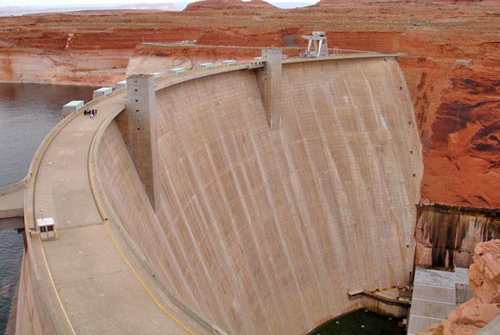
Construction on Glen Canyon Dam began with a demolition blast keyed by the push of a button by President Dwight D. Eisenhower at his desk in the Oval Office on October 1, 1956. The first blast started clearing tunnels for water diversion.
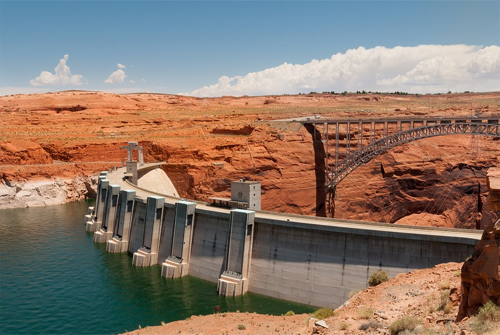
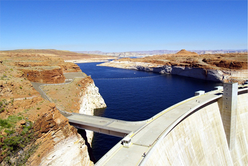
On February 11, 1959, water was diverted through the tunnels so dam construction could begin. Later that year, the bridge was completed, allowing trucks to deliver equipment and materials for the dam, and also for the new town of Page, AZ.
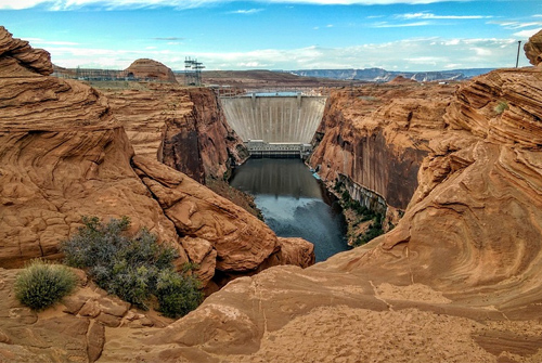
Construction of the Dam cost $155 million, and 18 lives were lost in the process.
On September 22, 1966, Glen Canyon Dam was dedicated by Lady Bird Johnson.